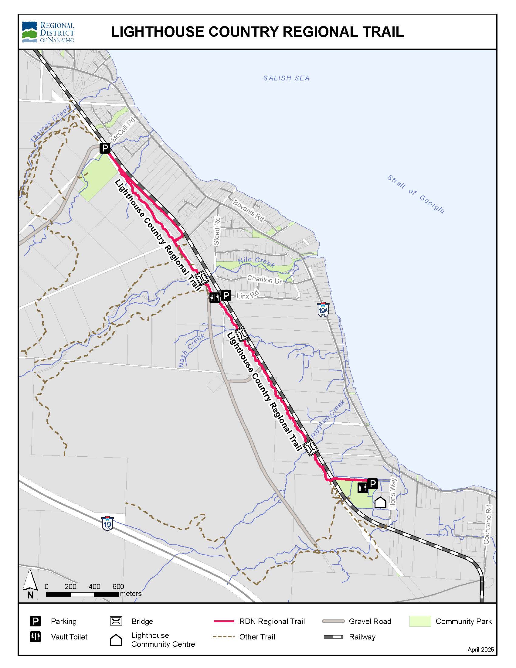
Lighthouse Country Regional Trail
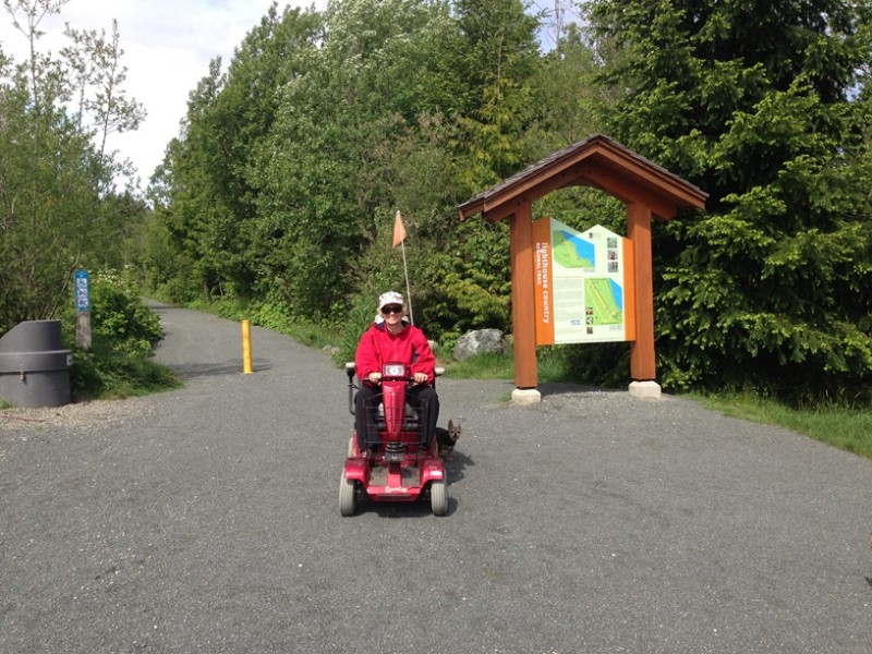
The trail provides a great introduction to the beauty of our rare Coastal Douglas-fir forest, with options for people of all abilities.
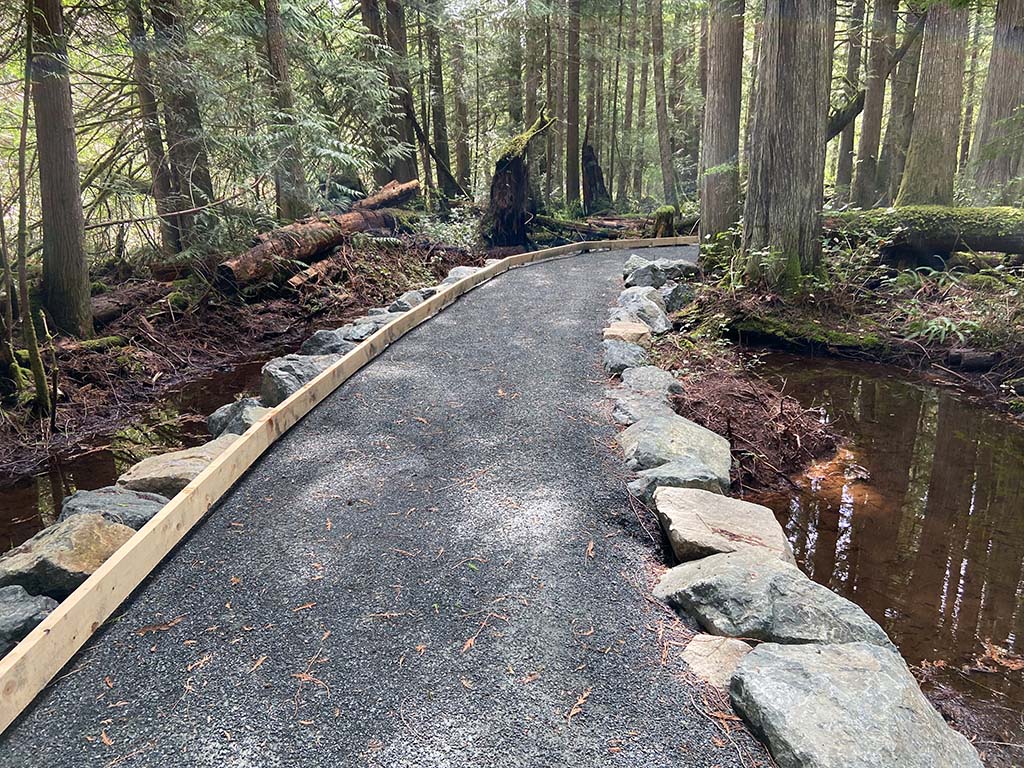
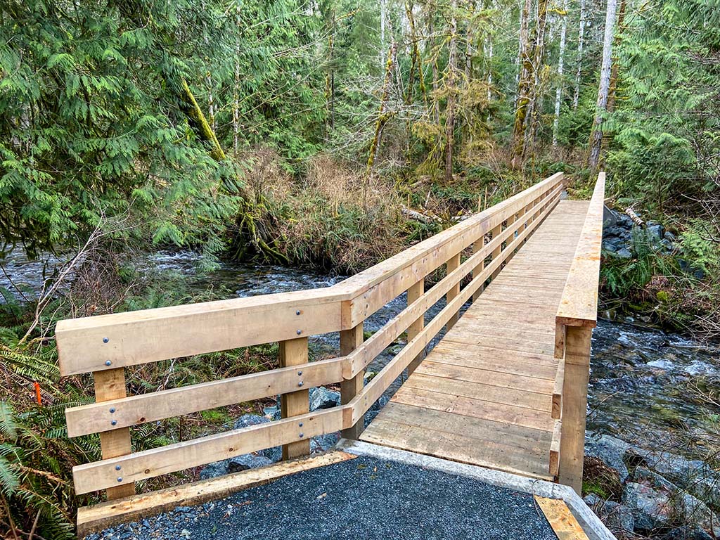
- South Section (Lioness Blvd to Linx Rd): 2.5 km accessible gravel trail with accessible toilets, bridges, benches, a picnic table, interpretive signage and a tapping rail for the visually impaired.
- North Loop (McColl Rd to hydro corridor): 2 km loop dirt trail with narrow sections and exposed roots.
- Nile Creek Connector Trail (Linx Rd to hydro corridor): 0.6 km connection between the North Loop and South Section, featuring a dirt trail, stairs, boardwalk, steep sections and exposed roots.
- Total distance from Lioness Blvd to McColl road: 4 km, one way
Work out while walking the trail: Fresh Air Fitness is a series of exercises, designed to be fit with the Lighthouse Country Regional Trail, that offer a full body workout.
What to do
Biking
Birdwatching
Hiking
Parking
Running
Toilet
Walking
Accessible
How to get there
- South Access at Lioness Blvd Parking Lot: 3480 Lioness Blvd, Qualicum
- North Access at McColl Road Parking Lot: 151 McColl Rd, Bowser
- Mid-point Access at Linx Rd Trailhead
Park Map